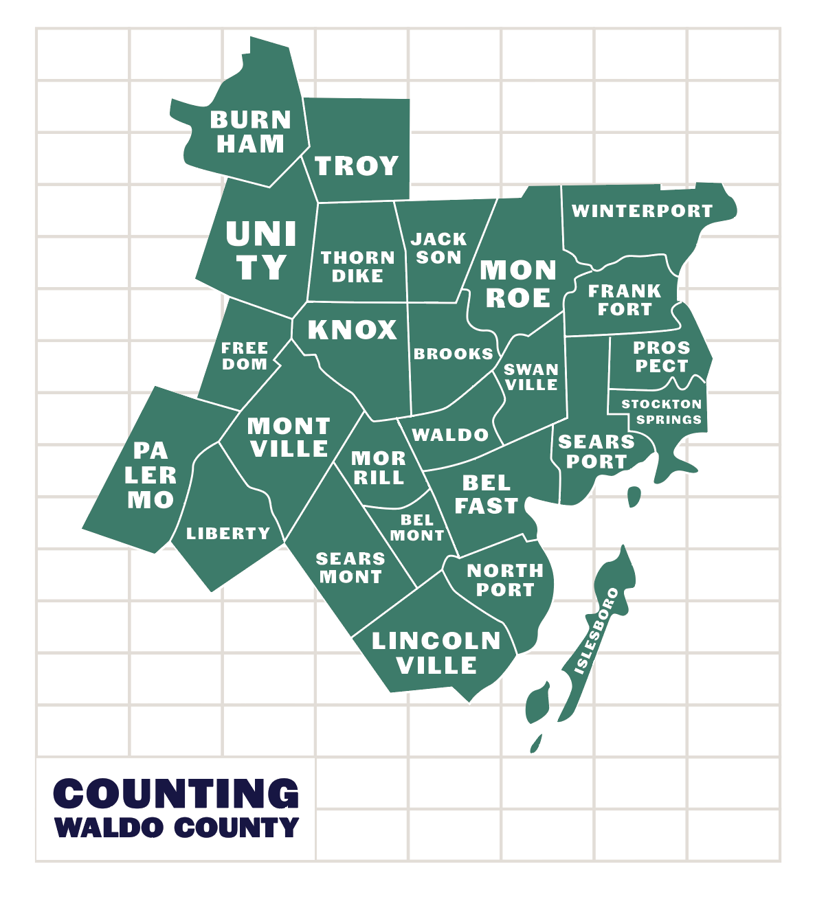
This project collects publicly available data about Waldo County and turns it into simple visuals. Farm harvests, recreation trends, boat building, broadband access — the kinds of things that shape daily life here but don't always get looked at closely. Each graphic is a small attempt to understand one corner of rural Maine, across all 25 towns.

Waldo County is a mix of things — coastline and farmland, small towns, wide open spaces. People here work hard and tend to know their neighbors. There's a lot going on beneath the surface, and I think the numbers behind everyday life reflect that. When you turn those numbers into something visual, sometimes you see your community in a way you hadn't before.

I hope these are useful to anyone curious about this corner of Maine — whether you've lived here your whole life or just moved in. If a graphic sparks a conversation or answers a question someone had, that's enough for me.